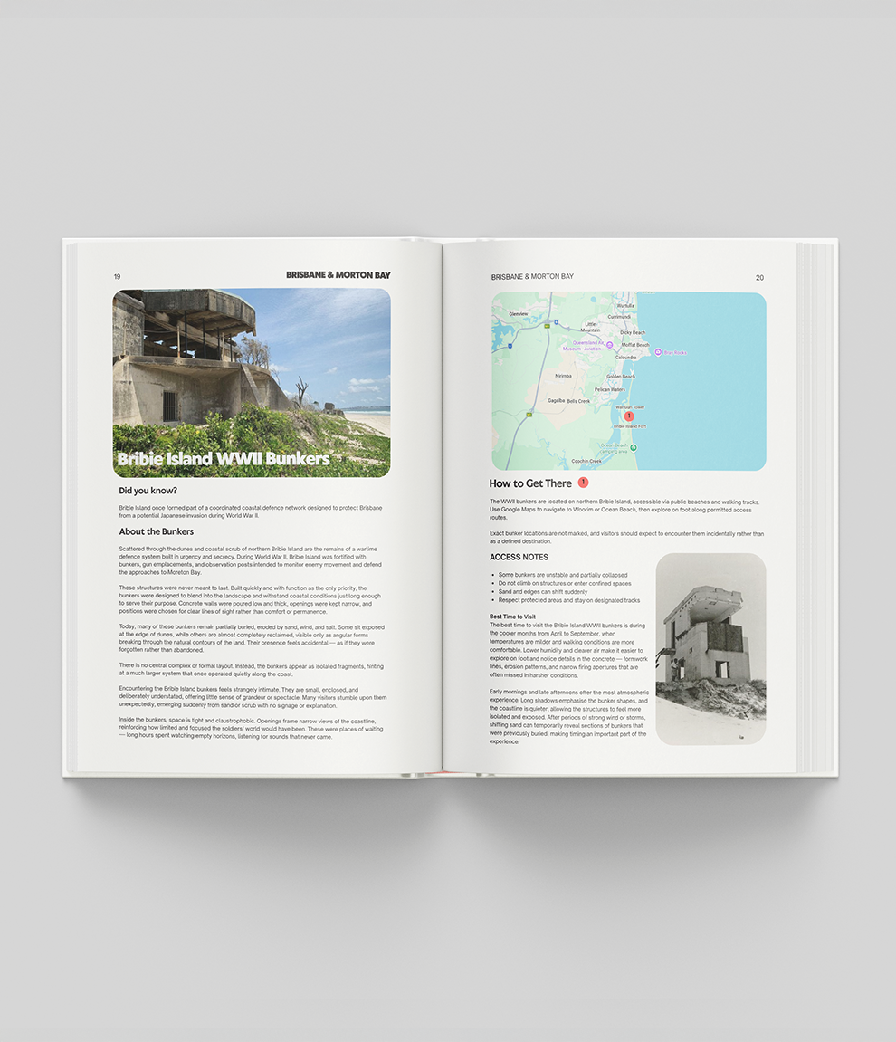
Bribie Island WWII Bunkers: Fort Bribie History & How to Visit

Bribie Island played a vital role in Australia's coastal defence during the Second World War. To protect the northern approach to Moreton Bay and Brisbane, a series of fortified bunkers, gun emplacements and searchlight posts were built at the island's northern end, known as Fort Bribie. These structures were designed for immediate, tactical use, housing coastal artillery and observation posts. Today the concrete ruins give a grounded look at the reality of wartime fortification on the Queensland coast. They're one of the heritage sites in our guide Hidden Gems Queensland.
Find this and dozens more in Hidden Gems Queensland: directions, access notes and safety tips. Printed guides include 12 months of the Explorer app free. Get the guide →
Bribie Island in World War II
The northern tip of Bribie Island looks out over the entrance to Moreton Bay. The bunkers were part of Brisbane's wartime coastal defence network, designed to deter enemy ships and submarines, and positioned to work alongside other batteries on the mainland and surrounding islands. Work on the island's fortifications began in 1939, and a smaller battery was added at Skirmish Point, near Woorim at the island's southern end, in 1942. The surviving bunkers are heavy reinforced concrete, built to withstand shelling while sheltering personnel and essential communication equipment.

The Fort Bribie Bunkers Today
The remaining bunkers are stark, utilitarian structures weathered by decades of sun, sand and salt. They're not restored museum pieces but raw examples of 1940s military architecture, with gun emplacements, mine control huts and searchlight buildings scattered along the beach and hidden among the dunes. You can still make out the layout of the old observation points and the thick concrete walls that once defended the region, with no modern tourist infrastructure in sight.
How to Get to the Bribie Island Bunkers
Fort Bribie is at the northern tip of Bribie Island, inside Bribie Island National Park, about 65 km north of Brisbane. It's a 4WD-only trip: either the 23 km Ocean Beach drive from Woorim or the northern inland access track from White Patch, in a high-clearance 4WD with low range. You'll need a vehicle access permit, and you can also reach the area by boat. Check tides, track conditions and permit details with Queensland Parks before you go.
The remains are scattered through protected coastal land with no marked sites, and the Earth Bound map shows only the general area. Treat them as protected heritage: view them from designated tracks, don't climb on, enter or dig around the structures, take nothing away, and keep off the dunes and out of protected areas.
Bribie Island WWII Bunkers FAQs
Where are the WWII bunkers on Bribie Island?
At Fort Bribie, on the northern tip of the island, scattered along the beach and among the dunes in Bribie Island National Park.
Do you need a 4WD to see the Bribie Island bunkers?
Yes, a high-clearance 4WD with low range, plus a vehicle access permit. The area can also be reached by boat.
Can you go inside the bunkers?
No. They're protected heritage remains, so view them from designated tracks and don't climb on, enter or dig around them.
For more abandoned and heritage places across the state, pick up a copy of Hidden Gems Queensland.