Bob Turners Track – Colo River
If you want a slice of the Wollemi wilderness without a multi-day trek, Bob Turners Track is the gold standard. While much of the Blue Mountains region is narrow canyons and rocky creeks, the Colo River at the end of this track is famous for something else: big, white sandbanks and deep, glassy water. For more Blue Mountains swimming spots, see Jellybean Pool or Dalpura Canyon.
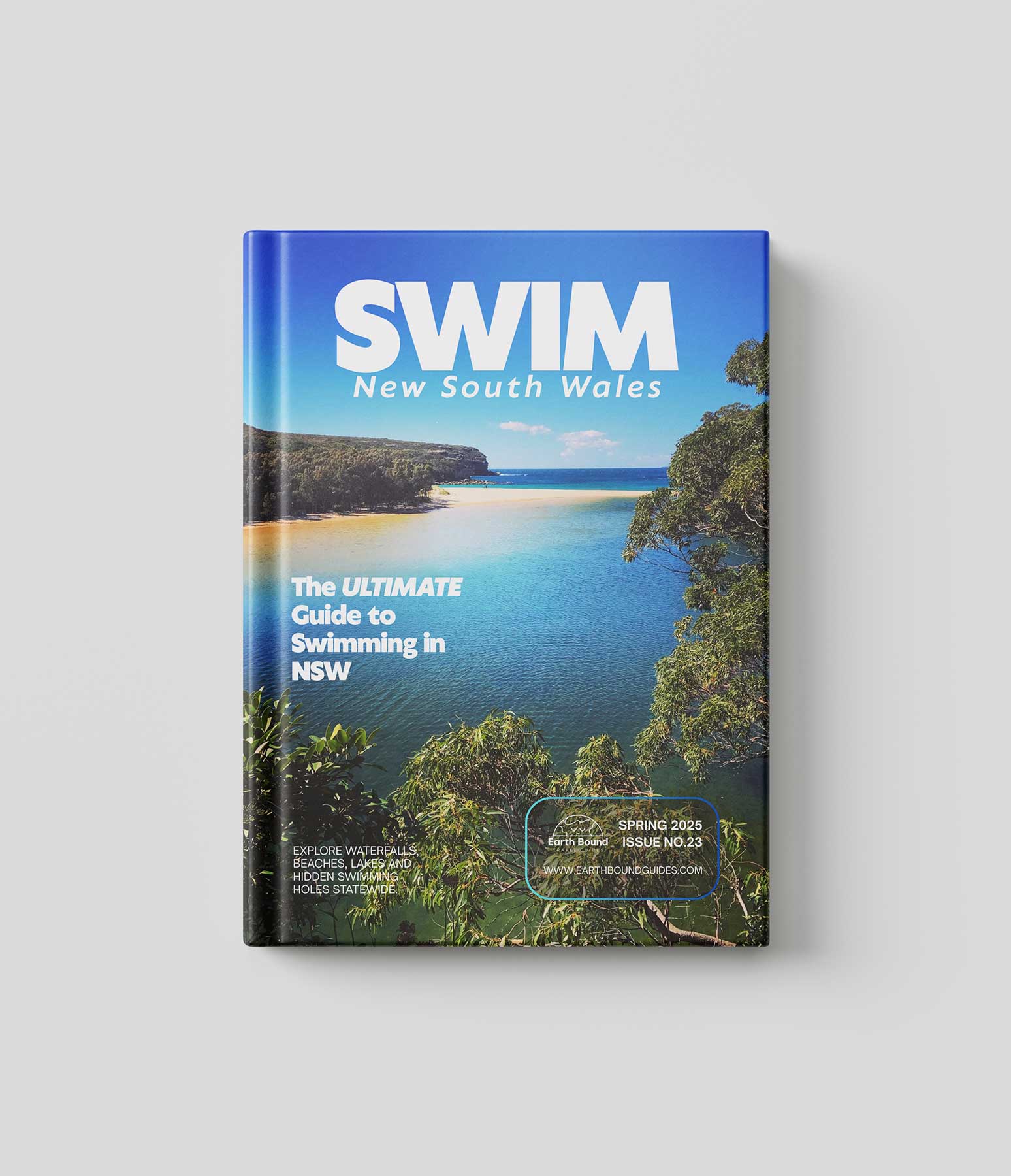
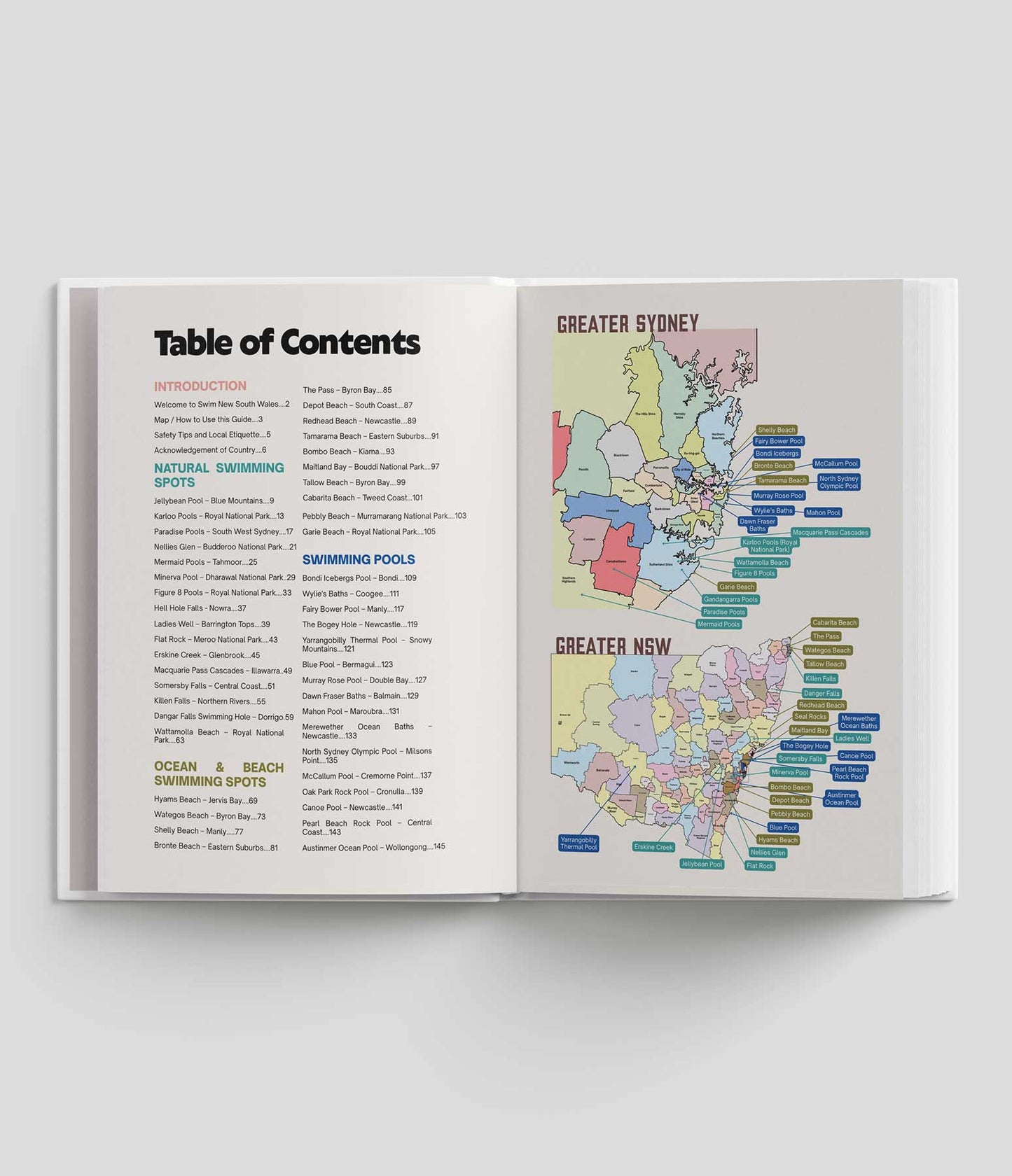
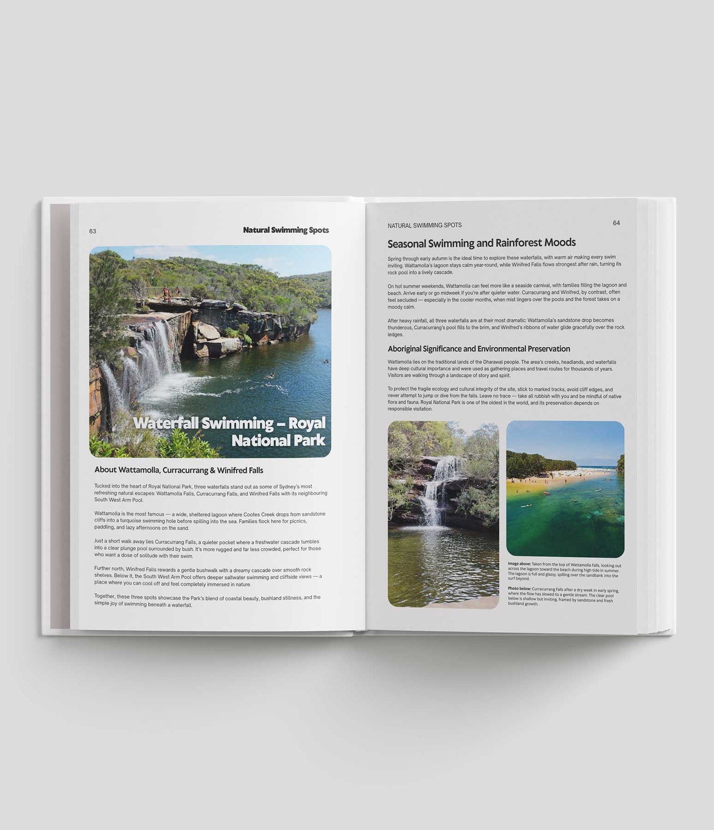
Find this and dozens more in Swim New South Wales: directions, access notes and safety tips. Printed guides include 12 months of the Explorer app free. Get the guide →

How to Get to Bob Turners Track
The trailhead is at Colo Heights, about 15 to 20 minutes north of the Colo River bridge on the Putty Road. For more NSW road trip ideas, check out Drive New South Wales.
- The turn-off: Look for the small NPWS sign for "Bob Turners Track" just past the service station at Colo Heights. It's on a sweeping bend and easy to miss.
- The road: You'll drive roughly 3 km down a well-maintained dirt road to the marked trailhead. It's suitable for standard 2WD vehicles in dry weather.
The Hike: Descending into the Colo Gorge
The Bob Turners Track is remarkably well graded. It was originally built so canoes could be carried in and out of the river, so it doesn't rely on endless stairs like many Blue Mountains walks. Instead it uses long, sweeping zig-zags that take you through changing vegetation, from dry eucalypt forest to lush fern gullies with smooth-barked apple trees.
Remember that what goes down must come back up: the climb out is steep in places, so carry plenty of water. At the river, note where the track comes out, as it isn't obvious on the way back.

Swimming at the Colo River "Beach"
When you reach the bottom, the forest opens up to a huge sandbank on a bend of the river.
- The sand: Unlike the rocky pools of the Grose Valley, the Colo River at Bob Turners has fine, soft sand. It's perfect for laying out a towel or setting up a day shelter.
- The swim: The water is crystal clear and generally deep enough for a proper swim. Many people bring a small inflatable to float down the river before walking back up. Only do this when the river is low and calm, and never dive into water you haven't checked.
Safety and Conservation Tips
- Flash floods: The Colo can rise rapidly after rain, including rain upstream. Check the weather forecast for the Putty Road area before heading out, and stay away if heavy rain is forecast.
- Water quality: The Colo is a wild river, but treat the water if you plan to drink it.
- Carry water: There are no facilities on the track, and the climb out is hot work in summer.
- Pack it out: This is a pristine wilderness area in Wollemi National Park. Take all rubbish back to the car.
Bob Turners Track FAQs
Can you swim at Bob Turners Track?
Yes. The track ends at a big sandbank on the Colo River with clear water deep enough for a proper swim. Stay out if the river is high or flooding.
Do you need a 4WD for Bob Turners Track?
No. The access road is about 3 km of well-maintained dirt, suitable for standard vehicles in dry weather.
Where does Bob Turners Track start?
It starts at Colo Heights, off the Putty Road, down a dirt road that turns off just past the service station.
Is Bob Turners Track steep?
It's well graded with long zig-zags, but the climb back up from the river is steep in places. Carry plenty of water.
More Swimming Spots in the Blue Mountains and Wollemi
- Jellybean Pool: the Blue Mountains' most accessible wild swim, at Glenbrook.
- Dalpura Canyon: a short slot canyon near Mount Wilson with clear pools.
- Blue Mountains Swimming Guide: the best waterfalls and swimming holes in the region.